Latest News
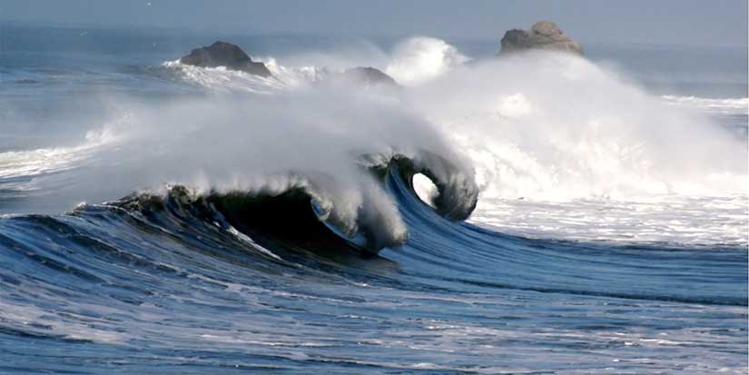
The province is encouraging people to be aware of tsunami risk.
Photo via Wikimedia Commons
Learn about tsunami risk in the capital region during ShakeOut BC week

Published 11:21 PDT, Fri October 21, 2022
Last Updated: 11:35 PDT, Fri October 21, 2022


—
To prepare for tsunamis and earthquakes, people are encouraged to practise evacuation routes and drop, cover, and hold on.
To learn if you live in, work in or visit a tsunami-hazard zone, visit the Capital Region Tsunami Information Portal: maps.prepareyourself.ca.
The main tsunami risk in the capital region is from a felt earthquake. People should drop, cover, and hold on during the earthquake. Once the shaking stops, people in a tsunami-hazard zone should leave the area immediately. People outside a hazard zone should remain in place if it is safe and be prepared to help family and friends who need shelter.
People living and working in tsunami-hazard zones are encouraged to practise their evacuation routes on foot or bike with family, friends, or colleagues to prepare for a tsunami risk. Most people will not need to travel far to reach safety. As demonstrated by the information portal, most of the capital region's coastline is elevated with a limited risk of tsunami and is at low-to-minimal risk of a distant tsunami. However, it's important for people to know where the tsunami-hazard zones are located, so they are informed and can understand potential risks.
During this year's Great British Columbia ShakeOut, which took place yesterday (Oct. 20) at 10:20 a.m., people throughout B.C. in schools, workplaces and public places practised how to drop, cover and hold on.
People are also encouraged to prepare by making a home emergency plan and building a home emergency kit and grab-and-go bags with supplies for at least 72 hours. Kits should include non-perishable food, such as cans or granola bars, a first-aid kit, flashlights, extra batteries, a radio, and a backup of all critical documents.
The capital region is an at-risk area to tsunami hazards from several potential sources, including the Cascadia Subduction Zone, the Alaska-Aleutian Subduction Zone, and local shallow crustal faults. Last month, the province and the Capital Regional District released the new Capital Region Tsunami Information Portal that identifies tsunami-hazard zones along the coast. The Capital Region Tsunami Information Portal is a Regional Emergency Management Partnership initiative co-developed with GeoBC.


2 Hours of free financial consulting
Jai Xin Planning Ltd.
C$120.00 C$0.00

Use any of our home staging service and get a second month rental for free!
MiiX Interiors
C$500.00 C$0.00

Get 10% off any order
Phantom Screens Lower Mainland
C$200.00 C$180.00